METOS TSM: Revolutionizing Soil Mapping for Agriculture and Turf Management
About METOS TSM
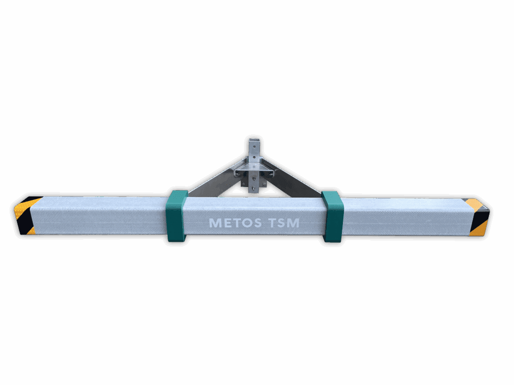
The METOS TSM is a lightweight and compact solution designed to provide non-contact, on-the-go soil analysis for agriculture and turf management.
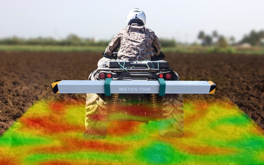
By mapping volumetric moisture content within the root zone, it is possible to optimise irrigation management, reduce resource wastage, and improve soil health – all in real-time.

Key Features
- Soil moisture measurement
- High spatial resolution
- Real-time data access via mobile app
- Compact & easily mountable design
- Ideal for both agricultural fields and turf management
How it works?
The METOS TSM uses non-contact electromagnetic technology to measure the volumetric moisture content of the soil at various depths. It can be mounted on standard agricultural or turf equipment for continuous measurement while you work.
The data is processed automatically, allowing you to access real-time information, enabling precision irrigation and better resource management.
Non-Contact Mapping
Analyze without disrupting the soil.
High-Resolution Data
Provides detailed moisture distribution.
On-the-Go Measurement
Collect data while moving across your fields.
Auto-Data Processing
Data is instantly available for analysis and decision-making.
Unlock the Full Potential of Your Soil
By using METOS TSM, you gain unparalleled insights into the moisture content and variability of your soil, helping you make better decisions about irrigation, planting, and resource allocation.
- Optimized Irrigation Management: Prevent over or under-irrigation.
- Resource Savings: Use less water, reduce labor costs, and enhance soil health.
- Data-Driven Decisions: Access actionable insights to improve productivity.
- Sustainability: Better manage water usage, reducing environmental impact.
Data That Drives Success
Gain valuable insights into your soil moisture levels with METOS TSM. The system collects and processes up to 25,000 data points per hectare, providing you with highly accurate, real-time data for better decision-making.
